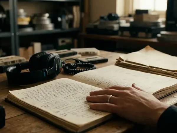
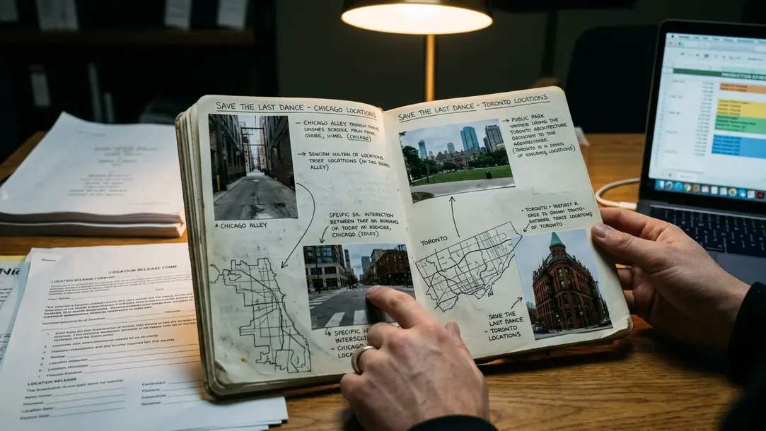
Save the Last Dance feels rooted in Chicago from its first urban glimpses. Steel, brick, winter light, narrow interiors and elevated tracks give Sara’s new life a hard physical edge. Yet the film’s neighborhood geography is assembled from two cities: recognizable Chicago views establish the destination, while Toronto architecture supplies much of the space where characters appear to live, study and dance.
That split matters because the movie’s sense of place survives it. The filmmakers built a persuasive South Side through framing, movement and architectural substitution—an especially useful case for understanding how early-2000s cinema turned one city into another.
The South Side Built in Two Cities
Start by separating the film’s geography into three evidence classes. The first contains identifiable Chicago establishing views. The second covers Toronto locations standing in for neighborhood space. The third includes interiors whose city cannot be determined from the available frame.
This approach protects the film from two equally tempting readings. One credits every brick wall and rail shadow to Chicago. The other treats the Toronto production footprint as proof that the entire screen world belongs north of the border. The movie works between those positions, borrowing literal Chicago markers and connecting them to substituting streets, schools and club interiors.
The Establishing-Shot Bargain
Establishing views commonly remain visible for roughly two to six seconds. Dialogue coverage then moves close to faces, walls and shallow backgrounds. By the time the audience settles into a conversation, the opening image has already assigned a city to spaces that may reveal little geographic evidence of their own.
For a disciplined rewatch, classify each exterior as identifiable, probable or indeterminate. Reserve a city attribution for frames containing at least two independent markers, such as a readable street sign paired with an elevated steel structure. A single alley, loading door or brick facade carries less weight.
A brick facade with an alley cannot establish Toronto by itself. Comparable masonry, loading access and fire escapes occur in both cities, while a close camera can hide the infrastructure that would settle the question.
The result is a productive illusion. Toronto’s architectural range gives the neighborhood scenes their tactile consistency, while brief Chicago images secure the story’s address in the viewer’s mind. Geographical literalism becomes less important than continuity of texture.
How to Read a Two-Second Street View
I begin with the largest structures because productions have a much harder time disguising rails, viaducts, block dimensions and street alignment than signs or storefront dressing. Only after fixing those elements do I move toward brick color, windows and door hardware.
A Three-Frame Test
Capture three images from every candidate shot: the first clear view, a frame approximately two seconds later and the last unobstructed view. Details that remain visible across all three are less likely to be reflections, passing vehicles or compression artifacts.
Then widen the search. Use a two-block radius around a proposed address and check intersections, service alleys, rear elevations and afternoon-shadow direction. Matching one facade can feel thrilling, especially during a location hunt, but the vanishing line often gives the stronger answer. Chicago’s regular grid can produce long, aligned sightlines; older Toronto corridors more often meet short offsets, bends or narrower service lanes.
Separate the Year 2001 From the Present
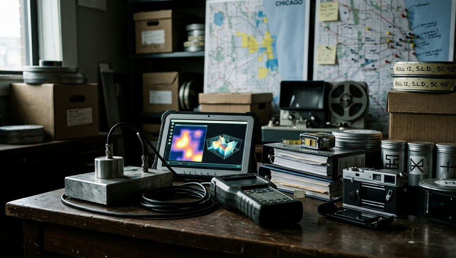
Compare the film with location photography from 1999 through 2001 before opening current street views. Urban redevelopment since the film’s production prevents a perfect present-day match, most dramatically around the former waterfront club block near 132 Queens Quay East, where mid-2010s changes removed the production-era building fabric.
Toronto’s long-standing municipal infrastructure for hosting international film productions provides useful context for why the city can support this kind of substitution. The visual proof, however, still has to come from the frame.
Rewatch and Field Checklist
- Record the scene’s start and end time before pausing on details.
- Capture three frames from every proposed location match.
- Require two independent geographic markers before naming a city.
- Distinguish permanent architecture from signs, vehicles and set dressing.
- Compare production-era photographs before relying on current street views.
- Test the surrounding blocks instead of matching one attractive facade.
The School Assembled in the Edit
The film’s school reads as one institution because Sara moves through it with purpose. Entrances lead to corridors; corridors seem to feed staircases and classrooms. Editing supplies much of that continuity.
Treat the school as a collection of architectural pieces. Begin outside by counting fixed units: entrance doors, masonry bays and window groupings. Inside, count stair flights, locker columns and corridor intersections. Students and posters shift between takes, while those structural units stay put.
Following Sara Through a Doorway
A useful continuity test covers roughly the 10 to 20 seconds surrounding each doorway transition. Note Sara’s direction of travel, the door’s hinge side and the nearest staircase before the cut. Compare those details with the space that receives her. If the geometry fails to connect, the sequence may combine separate wings or buildings while preserving emotional momentum.
The top quarter of the frame deserves special attention. Exit signs, transoms, ceiling grids and sprinkler pipes often survive largely unchanged because set dressing gathers around actor height. These permanent systems can expose differences that lockers, banners and crowded hallways conceal.
Framing completes the disguise. Tight doorway shots suppress the surrounding elevation, and bodies occupy the corridor’s deepest sightlines. Lighting pulls attention toward faces while less compatible architectural details recede. The school therefore feels socially crowded and spatially compressed, a fitting environment for Sara’s first uneasy days.
Inside Stepps’ Four-Zone Geography
Stepps has a convincing layout even though the film never hands us a dependable architectural survey. Its geography emerges through repeated action: someone enters, presses along the crowd, reaches the dance circle or watches from an elevated edge.
Map Movement Before Walls
Draw four zones for the sequence:
- Threshold: the public entrance and first point of arrival.
- Circulation edge: the dense route around the principal action.
- Dance circle: the central floor where status becomes visible.
- Raised observation area: an edge or elevated position used for watching.
Add a connection only when a character crosses between two zones in one uninterrupted shot. Cuts can join nonadjacent parts of a venue, so an edited character route should never be mistaken for a literal floor plan.
Lighting fixtures make better anchors than furniture or crowd placement. A colored source or illuminated railing visible from opposing angles can establish camera orientation after dancers and tables have shifted. Tight lenses and packed bodies then create the venue’s claustrophobic pressure. The room seems to close around the circle, sharpening the stakes whenever Sara steps toward its center.
The frequently cited Toronto candidate is the former club complex at 132 Queens Quay East, east of Lower Jarvis Street on the industrial waterfront. Treat the address as a field-research lead. Period photographs remain necessary before presenting it as a confirmed room-by-room match.
Rails, Shadows and the Borrowed Street Grid
Rail evidence needs to be divided into four categories: at-grade track, overhead wire, elevated structure and shadow. Blending them together produces many of the weakest location identifications.
Toronto streetcar rails supply persuasive industrial texture. They cannot physically create the broad cross-bracing or heavy deck of an elevated railway. When such a structure or its distinctive shadow appears, the frame requires separate Chicago attribution or stronger production documentation.
A Walkable Comparison Corridor
For a present-day survey, the roughly 1.5-kilometer stretch of King Street East between Yonge Street and Parliament Street offers a practical exercise. Street rails, older commercial masonry, service access and newer infill can be compared during a half-hour walk.
Photograph each candidate corner from all four approaches at roughly eye level. Take another set from curb height, where rail alignment, drainage channels and the road crown become easier to read. Stay on public sidewalks and include enough of the intersection to preserve the vanishing line.
The strongest comparison often comes from what the road does beyond the nearest building. Does it continue in a long, rigid alignment? Is there a service lane that narrows or bends? Do overhead systems follow the tracks? These questions move the search away from atmospheric resemblance and toward repeatable evidence.
Walking From Union Station
The former club block at 132 Queens Quay East sits approximately 1.5 kilometers on foot from Union Station. Allow 20 to 25 minutes, approaching on major public sidewalks rather than entering construction zones or private loading areas.
The modern waterfront can initially feel detached from the film’s darker industrial mood. That contrast is part of the investigation. Record surviving street width, overhead structures and facade rhythm without forcing current buildings to resemble the production frame.
Morning at Queens Quay East
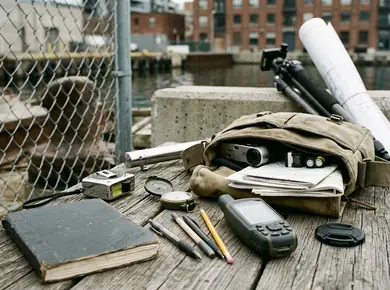
Plan the final field stop between 8:00 and 9:30 on a weekday, when facade light is clear and nightlife foot traffic is lower. Carry three references: one printed film frame showing the venue threshold, one period image dated between 1999 and 2001, and one current parcel map.
Spend in the range of 12 to 18 minutes on each side of the block. Keep separate notes for sound, street width, overhead structures, facade rhythm and pedestrian flow. Separating those categories checks the urge to turn every familiar shadow into a match. If artificial-light direction matters, return after dusk and remain on well-lit public sidewalks.
Near Lower Jarvis, morning traffic sends a steady wash of sound across the waterfront. The printed Stepps frame looks darker and more enclosed than the open modern block ahead. A delivery vehicle pauses; sunlight catches the road surface; pedestrians angle toward work without noticing the old cinematic geography under their feet. The original venue fabric may have gone, yet the act of comparing frame, map and street restores one small piece of the film’s construction: Chicago held in memory, Toronto beneath your shoes.